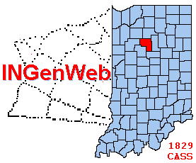
Cass Co., IN Landowners 1878


I have extracted the names of the landowners on the platmaps of the Kingman Brothers Combination Atlas Map of 1878 and placed them here. Information includes the landowner, the township, the section of the township, the amount of land in acres and the township & range numbers. Many thanks to John Estabrook for giving me use of his Atlas to help many with research of Cass Co. ancestors.
